Clear seismic imaging for the world’s toughest geology
We transform structurally complex, high-risk seismic data into clear, interpretation-ready images—especially where standard approaches fail.
By combining interpretation-driven services, proven solutions adapted per project, and purpose-built technology like FWI, we help E&P teams reduce uncertainty and drill smarter in fold-thrust belts, faulted zones, and chaotic near-surface environments.
How we solve hard problems—together
For every project, we start with your geological challenge. From there, we combine three layers—customized services, adapted proven solutions, and purpose-built proprietary technology—to deliver interpretation-ready results.
Tailored seismic imaging and processing
Project-specific workflows designed around your geology—from first breaks to final migration. Interpretation-driven, collaborative, and continuously refined through close interaction with your team.
Proven approaches, adapted per project
- Weathering correction for chaotic near-surface
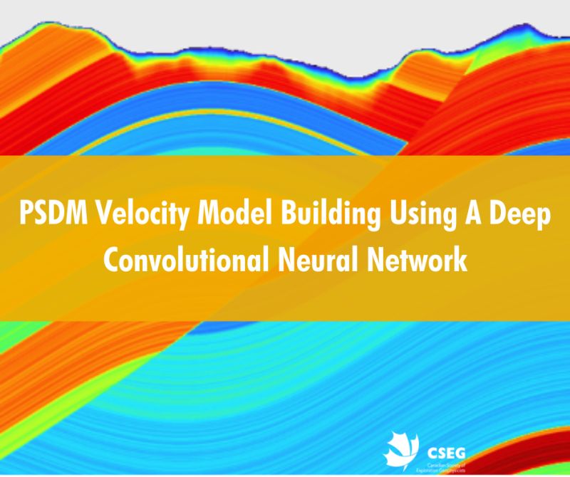
- Velocity model building for steep dips and thrust systems
- Advanced imaging for structurally complex targets
Tools that work—because they deliver
Proprietary workflows, algorithms, and software—such as CLIMB, RTM, and Devito-powered FWI—developed and refined through real-world projects in complex onshore settings.
We adopt technology because it works, not because it’s fashionable.
Because geology doesn’t compromise
Our capabilities aren’t theoretical. They’re forged in 20+ years of turning geologically chaotic data into drillable images:
- Decades of experience working with complex onshore and thrust-belt geology
- Focus on challenging data sets that standard approaches struggle to resolve
- Interpretation-driven workflows and close collaboration with client teams
- Technology adopted because it delivers results—not because it is trendy
Clients
Chosen by major operators, independents, national oil companies, and governmental energy regulators for technically demanding seismic projects where clarity directly impacts drilling decisions.


TBI has successfully executed multiple 2D processing and re-processing projects for UEPL in complex fold-and-thrust belt settings. The delivered results were consistently reliable, with particularly strong velocity solutions and robust near-surface modeling
Adnan Ishaq
Manager-Exploration, UEPL
TBI’s dedication to service quality and a collaborative approach is what really sets them apart. They work closely with their clients at every stage of the processing flow, incorporating the geological understanding necessary to maximize the value of the data. Their professionalism and technical expertise were invaluable in generating a reliable product to ensure project success.
David Cho
Chief Data Scientist, Archer Exploration
Since 2009, Pluspetrol has relied on TBI for the Depth-Processing in our Thrust Fold Belt areas. The expertise of their team and their meticulous data analysis work have greatly helped us reduce uncertainty in seismic images for this complex geology.
Geophysicist
Technical Assurance for Argentina, PluspetrolWhere we work
We focus on fold-thrust belts, faulted zones, and complex near-surface environments. We are currently supporting exploration and development projects in basins from the Andes to the Zagros, from Canada to Indonesia and in most places in between.

Your success is our reputation
Successful seismic imaging in complex geology requires more than software. It requires experience, partnership, and a relentless focus on what helps you drill smarter.
Reliable delivery
Rigorous quality control at every stage, clear timelines, and fair pricing—so you know exactly what to expect and when.
True collaboration
We work as an extension of your team. Interpretation-driven workflows developed side by side, with regular reviews, shared QC, and continuous refinement.
Transparent communication
Regular technical updates, shared QC checkpoints, and clear explanations—no black boxes, no surprises.
We’ve solved these before—real solutions in real basins
Our capabilities are forged through more than two decades of turning geologically chaotic data into drillable images.
Weathering solutions
Time- and depth-based approaches for complex near-surface conditions—tested in Colombia’s foothills, Pakistan’s Indus Basin, the Papuan Fold and Thrust Belt region and much more.
Velocity model building
Interpretive and data-driven velocity models that honor steep dips, anisotropy, and structural uncertainty—critical for reliable imaging in thrust systems.
Seismic imaging
Kirchhoff, RTM, FWI, and time- and depth-imaging workflows tuned for fault shadows, sub-thrust targets, and folded terrains with complex land data.
Advanced processing
Specialized processing workflows supporting challenging acquisition and imaging objectives. 5D interpolation, noise attenuation, AVO-compliant workflows and multi-vintage merging—applied when they add value.
The right tech—used the right way
Technology only matters if it helps you see the subsurface more clearly.
This is why we use a focused stack: proven industry platforms, our own in-house tools, and flexible HPC resources—all woven into interpretation-driven workflows for complex land seismic data.
With a geologically-constrained starting model, our latest development, Devito-powered land-focused FWI, works in low-signal-to-noise-ratio environments and in the presence of subsurface complexity. Tested in real basins with extraordinary results.
We skip the flashy. We keep what works.
Sharing what works
We actively contribute to the geophysical community through technical papers, conference presentations, case studies, and shared insights developed from real project experience.

Experienced teams, focused on complex geology
Our teams combine deep geophysical expertise with a collaborative, interpretation-driven mindset. We work closely with client teams—from early problem framing to final delivery—to reduce uncertainty and support better decisions in complex onshore environments.

Let’s talk about your geology
A short, focused discussion to understand your geological challenge and explore how we can help reduce imaging uncertainty.