
Time Processing Services
Near-Surface Modeling
Building Accurate Near-Surface Models for Reliable Time and Depth Imaging
The Importance of Near-Surface Modeling
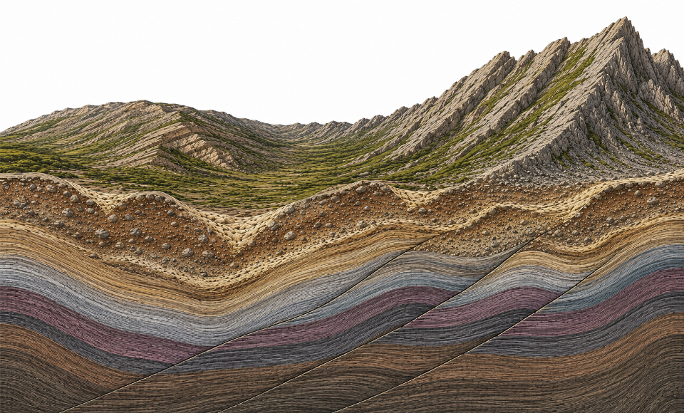
Near-surface seismic modeling is a fundamental part of any onshore processing workflow. The topography is often rugose and can vary by hundreds or thousands of metres over a seismic survey. The first few hundred metres below the surface often consists of unconsolidated and weathered material, including: paleochannels, fractures, shallow unconformities, and – in the case of structured data – steeply dipping rock layers and faults coming to the surface.
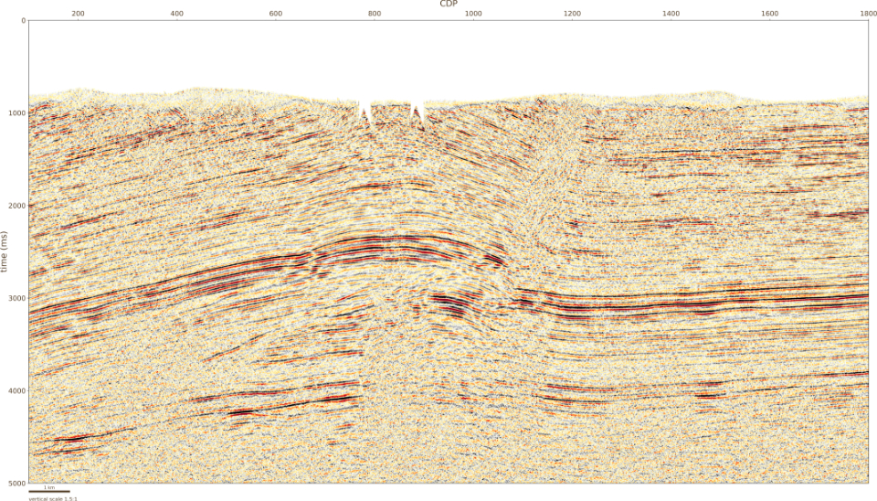
This complexity introduces distortions to the seismic signal, resulting in reduced reflector coherency and potentially creating false structures on the seismic reflectors. A key challenge in land seismic data processing is to correct for these distortions using static corrections for time processing and a near-surface velocity model for depth imaging.
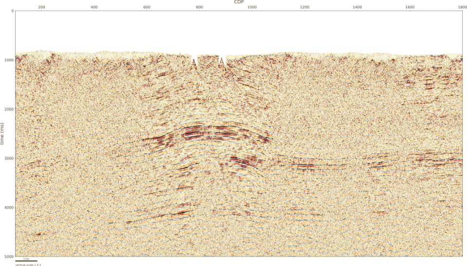
- Stack with only elevation statics.
- Stack resulting from Time Weathering Solution (TWS). Stack with refraction tomography statics to correct for time delays in the weathering layer as well as Mastt reflection statics to correct for any remaining static beyond the resolution of refraction statics.
From First-Break Picking to Velocity Modeling
The first step in modeling the near-surface is to pick the onset of energy, or first break, for each seismic trace. The first breaks are then inverted for a near-surface velocity model.
At Thrust Belt Imaging, we employ several inversion algorithms including GeoTomo’s Generalized Linear Inversion (GLI), TomoPlus tomographic inversion, and PanImaging’s ToModel tomographic inversion.
Applications Within Our Processing Workflow
Time Weathering Solution (TWS)
To calculate static corrections for time processing, using our Time Weathering Solution (TWS).
Depth Weathering Solution (DWS)
As the near-surface model for depth imaging, as part of our Depth Weathering Solution (DWS).
Input for Full Waveform Inversion (FWI)
As an input model for our proprietary land-focused Full Waveform Inversion (FWI).