

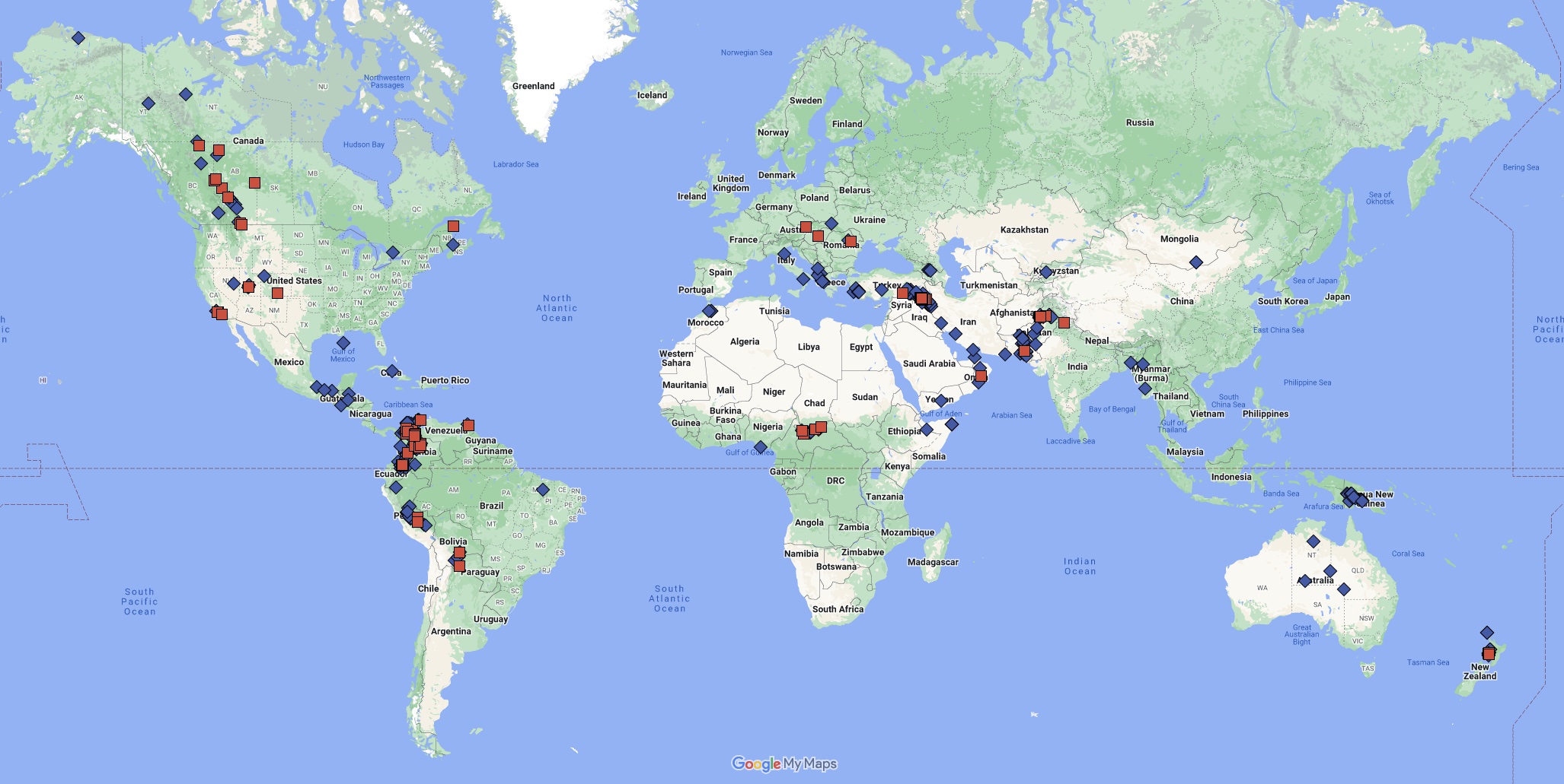
Active Areas
Map Details
Red squares indicate 3D projects
Blue diamonds indicate 2D projects
The map above shows 2D and 3D seismic imaging projects across a variety of geologic settings across the continents.
The interactive map below shows a summary of experience for each country where we have processed seismic data. If you zoom in and click on a highlighted country, you will see a breakdown of 2D and 3D, time and depth processing projects from that country, up to the end of 2016.
Map data © 2015 Google. Built with MyMaps.